
GIS
Services
Spatial intelligence.
Stronger decisions.
We transform complex spatial data into clear insights that support planning, design and asset management across the built and natural environment.
G
ood decisions begin with a clear understanding of place.
We collect, integrate and analyse spatial data to reveal patterns, relationships and risks that drive better outcomes.
From early feasibility to long-term operations, our GIS solutions bring clarity to every stage of your project.
Seeing patterns
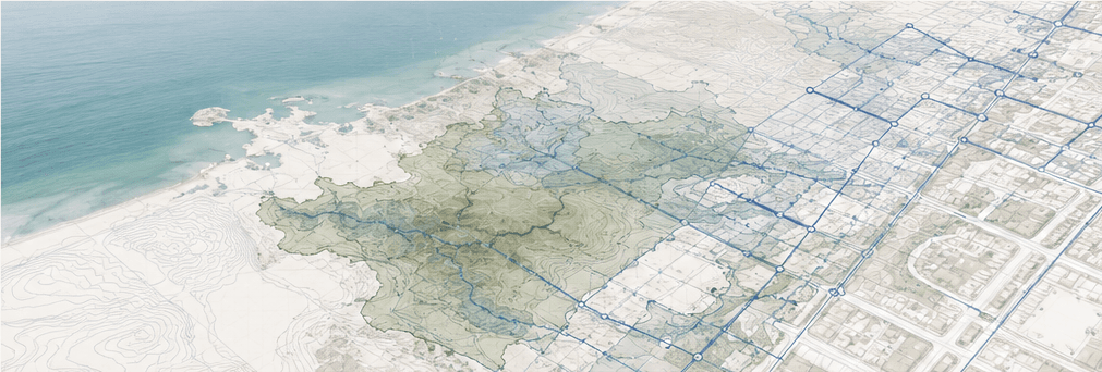
Infrastructure data becomes valuable when relationships emerge—between terrain, utilities, ownership, risk and future growth.
We help you see the bigger picture so you can plan with confidence and manage with precision.
What we deliver
- Spatial analysis
- Infrastructure mapping
- Asset management
- Data integration
- Decision support
